Some of Falmouth and Penryn could be underwater by 2050, says study
By Joseph Macey 16th Sep 2021


According to a climate change study, some of Falmouth and Penryn could be underwater in less than 30 years.
Climate Central has released an interactive sea-level rise and coastal flood map which are based on peer-reviewed science in leading journals.
The map uses current predictions to show which areas of Cornwall and the UK could be lost to rising sea levels by 2050.
They say that the map 'incorporates big datasets, which always include some error' and should be 'regarded as screening tools to identify places that may require deeper investigation of risk.'
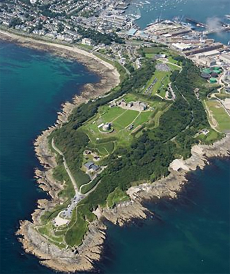
As you can see from the map, rising sea levels would affect most of the area around Pendennis, Gyllyngvase, Swanpool and Maenporth.
In Penryn, shows rises over Falmouth Road to Commercial Road and around to Flushing.
Climate Central is an independent group of scientists and journalists researching and reporting the facts about our changing climate and its impact on the public.
You can view the map for yourself here.
[H3] Don't forget, you can keep up to date with all the latest news on our Twitter and Facebook pages. [.H2]
CHECK OUT OUR Jobs Section HERE!
falmouth vacancies updated hourly!
Click here to see more: falmouth jobs
Share:
t")